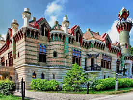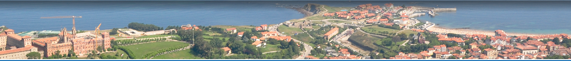

This route takes you inland from the coast to Ruiseñada through the different suburbs in this municipal district.
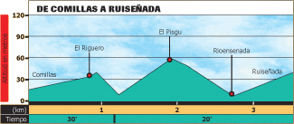
Starting point: Comillas (20 metres), the town hall, situated in the centre of the town.
Arrival point: Ruiseñada (40 metres), given the scattered character of the district, the church of San Adrián has been selected as the arrival point.
Length and estimated walk time:2.5 kilometres; 45 minutes.
Ups and Downs: 100 metres uphill and 80 metres downhill.
Difficulty: slight, except for the mud you may find on your climb to El Pisgu
Map reference: the National Geographic Institute, scale 1:25,000 page 33-IV.
Cycling possibility: You can use your mountain bike even though you may find it difficult when mud covers the climb to El Pisgu.